


About
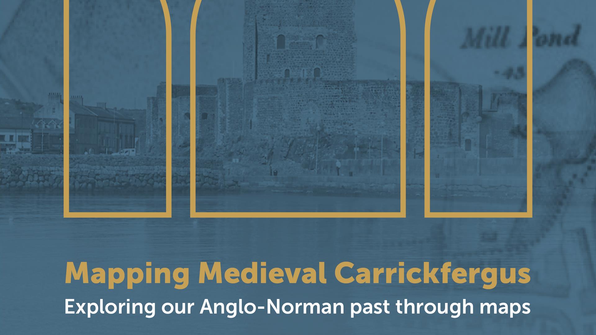
Mapping Medieval Carrickfergus: Exploring the town's Anglo-Norman past through maps and mapping
11:00 and 14:00 on Saturday 15 August 2026, Carrickfergus Town Hall
This one-day event includes a morning 'mapping workshop' for a hands-on session where participants will get a chance look at the development of a new online map application being made, and to help offer feedback on using it to explore the development of Carrickfergus across the centuries.
In the afternoon, a public lecture on 'Mapping our Anglo-Norman Towns' will be given by geographer Professor Keith Lilley from Queen's University Belfast. The lecture will be highly illustrated and will include Carrickfergus and other Anglo-Norman towns as examples, as well as a Q&A.
This project is made possible by funding by the Heritage Council which will see the creation of a new online digital map showing Carrickfergus as it was circa 1250.The map will be pieced together from different sources including archaeology and historic maps.
To take part in the 11:00 testing session please contact T: +44 (0) 28 9335 8241 or E: carrickfergusmuseums@midandeastantrim.gov.uk
Places are limited. To book your free place for the public lecture at 2pm please book tickets below. Approximate Run Time - 1 Hour. Event Suitable For - All Ages
Book Tickets
Facilities
Event Facilities
- Booking Required
Guide Prices
| Ticket Type | Ticket Tariff |
|---|---|
| Adult | Free |
Note: Prices are a guide only and may change on a daily basis.